Brittany to Dorset — 3 days from St Malo, France
A fast, exciting 3-day crossing for two experienced sailors.
The trail
Not for navigation — always consult official nautical charts and pilot books.
Report this trailWhat to expect
Depart St Malo on the tide, cross the Channel via Alderney (the classic route avoiding the Cherbourg Approach), and reach the Dorset coast at Weymouth. This itinerary relies on tidal timing and assumes good weather; contingency harbours are positioned for weather delays or sea state management. Total distance ~95nm.
Places you'll go
 Day 1 · Marina
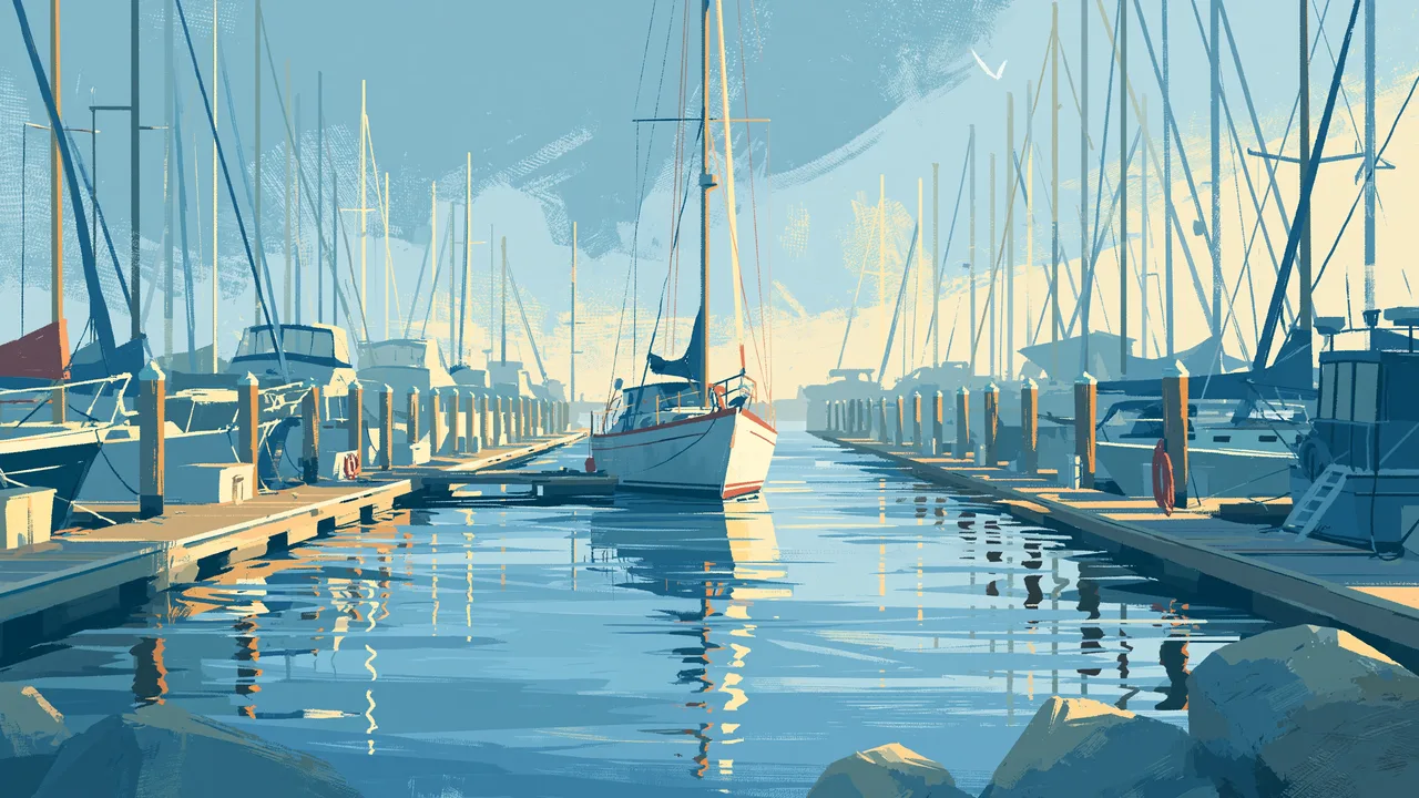
St Malo
Medieval walled city · Strong tidal streams — plan departure around slack water · Excellent provisioning
Day 1 · Marina · 1 nightAlderney, Braye Harbour
65.5 nmDramatic cliffs and seabird colonies · Sheltered natural harbour · Small, atmospheric island community
Day 2 · Marina · 1 nightWeymouth, Dorset
55.9 nmJurassic Coast UNESCO World Heritage site · Well-equipped modern marina · Strong sailing heritage; Olympic venue
When to go
Good to know
Nearest airport to St Malo, France: Dinard (DNR) · ~20 min to the base.
Provisioning for 2–2 crew over 3 days — see the Galley cookbook for boat-friendly recipes and what a week's shop actually looks like.
Charter price isn't shown here — it varies by boat, season and operator. Get a quote directly from a charter company for this base before you book.
Crew briefing
You're doing a proper Channel crossing in the best tradition. Day 1 is about 45nm to Alderney — straightforward if you time the Alderney Race for slack water; mistime it and you'll earn your pay with rough water. Day 2 is 38nm Alderney to Weymouth — longer leg but you'll have daylight and the south coast will welcome you. Watch out for Portland Race on approach, but it's manageable at slack. Expect to do a night watch on Day 1; otherwise you'll have decent rest. The coast is beautiful, the sailing is honest, and the harbours are civilized. Bring good charts, a tidal atlas, and your A-game.
Drafted with First Mait (AI), then reviewed and published by @flying-pirate. AI can make mistakes — verify stops, distances and depths against official charts before you sail.
Licensed CC BY 4.0 · by @flying-pirate, 2026
Sign in to rate this Trail.